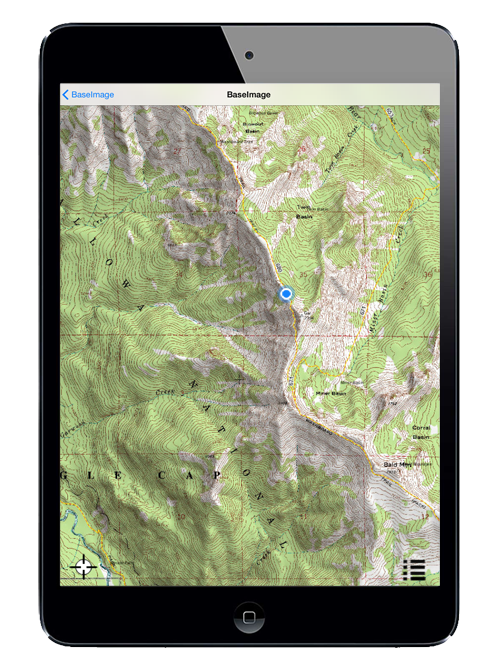
Beautiful Topographic Imagery
We're making each of our printed maps available in Hunting Unit Maps as a mobile-optimized, location-aware digital download. The 1:24,000 source data helps you see more of everything - more ponds, intermittent springs, and meadows; more hiking trails, BLM roads, and Forest Service fire roads; more buttes, bluffs, and much tighter elevation contour lines. In short, more of the details that make this particular patch of the American landscape so unique. Combine all this with our 3D shaded-relief effects and extensive color enhancements, and you're looking at one of the most engaging and informative digital maps available.

